|
Photographs of the Original Site for the Bitter
Root Inn,
September 2009 |
|
|
One of the goals of our detour
through the beautiful Bitterroot Valley this past summer was
to locate the original site of the Bitter Root Inn. In preparation for our trip I
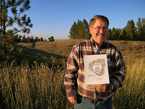
contacted John Stroud, an author and local historian, born,
raised and living in the Stevensville area of the Bitterroot
Valley. I met John in town at the local Drug Store,
purchased his book and had the opportunity to spend time
getting acquainted with the area, stopping to see the
historic St. Mary’s Mission and listening to some of the
local stories, then headed out to locate the site of the
Bitter Root Inn.
Unlike the "cold inhospitable
place" discovered by Lewis and Clark in September 1805,
just a little over two hundred years, I
found the Bitterroot valley beautiful and inviting, actually
commenting to my wife that this would be a beautiful place
to retire. Norman Maclean’s "A River Runs Through It" was
written about life during the early twentieth century in
Missoula, on the Northern end of the Bitterroot Mountains.
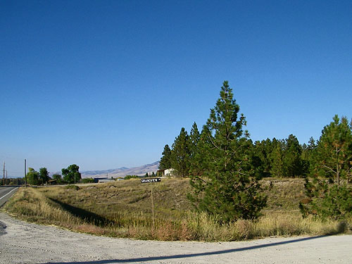
When we arrived we parked on
Grandview Drive, at the South end of the ravine. Where
Wright proposed a bridge, dirt and blacktop sit. A small
stream stills meanders along the floor of the ravine, and
Wright pictured a small pond and park for the community. We |
|
decided to head North first,
before examining the site. Little remains of the "dreams" of
the Village of Bitter Root, Montana one day overtaking
Missoula in size and
importance. A cursory glance as we walked North along
Eastside Highway reveal little of the few remnants of the
original concrete foundation. One neighbor we spoke to, who
had lived there for years was unaware this was the site of
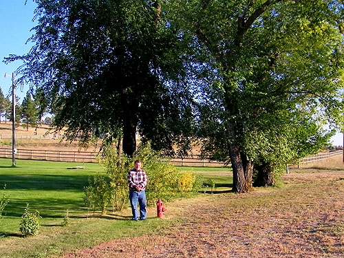
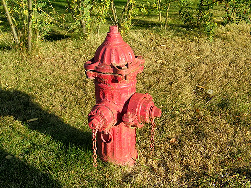
the original Bitter Root Inn. About 150 yards to the North
of Porter Hill Road, a single fire hydrant is all that
remains of the town’s water system and power plant installed
one hundred years ago.
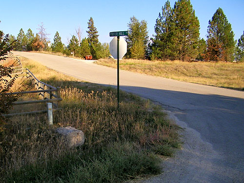
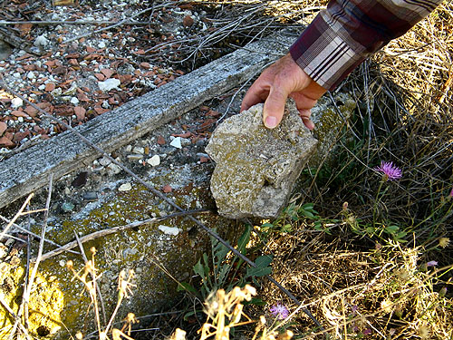
We headed back toward the
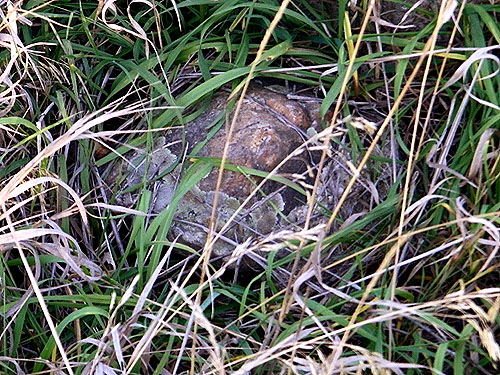
site and John pointed out an original historic corner
property marker located on the Northeast corner of Porter
Hill Road and Eastside Highway. Whether this is the
original Northwest corner marker for the site of the Bitter
Root Inn, can only be confirmed with more research. Large
sections of concrete remain on the site. Possibly footings
for the fireplace. Dreams change, memories fade,
time passes, life goes one. But if not for the dreams of
Moody, Nichols and Wright, the Bitter Root Inn would never
have been conceived and built. |
|
|
 |
|
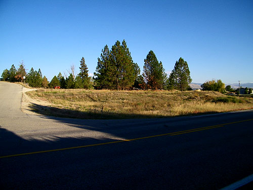
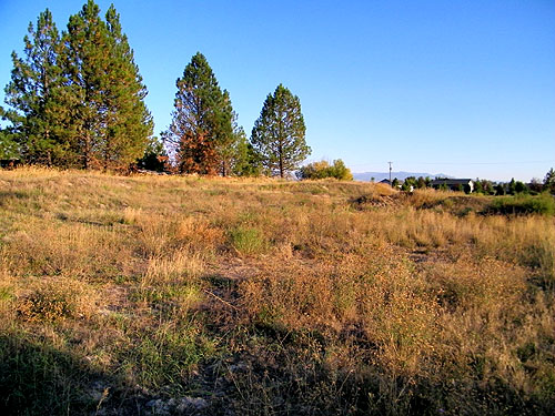
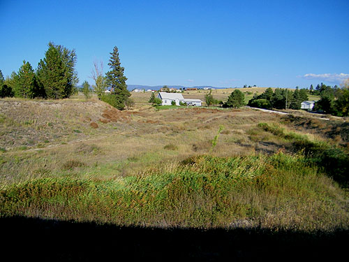
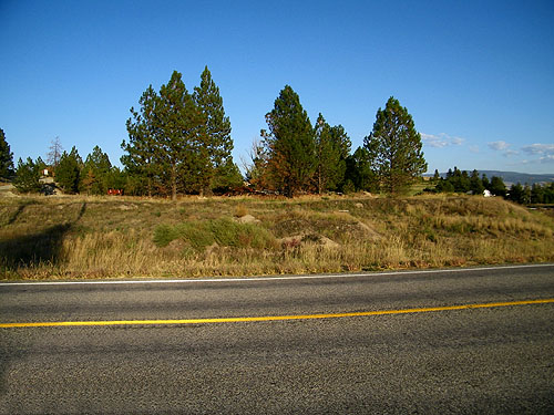
1: Viewed from the South
looking past the ravine. When we arrived we parked on
Grandview Drive, at the South end of the ravine. Where
Wright proposed a bridge, dirt and blacktop sit. A small
stream stills meanders along the floor of the ravine. Wright
pictured a small pond on the East side of the bridge and
community park in the ravine on the West side. We decided to
head North first, before examining the site. |
|
|
 |
|
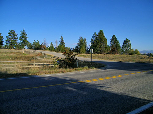
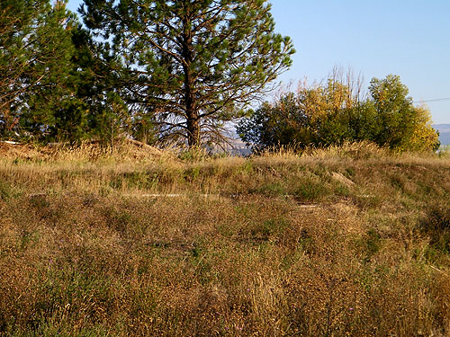
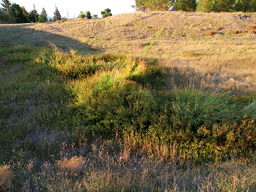
2: Viewed from the South
looking into the ravine. A small stream stills meanders
along the floor of the ravine. Wright pictured a small pond
here on the East side of the bridge. |
|
|
 |
|
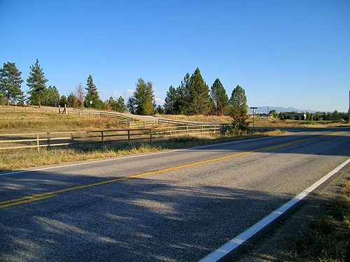
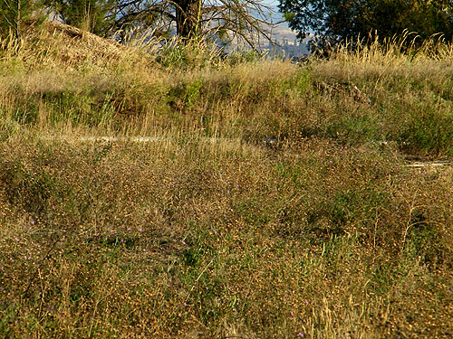
3: Viewed from the West
looking into the ravine from where Wright envisioned a
bridge. A small stream stills meanders along the floor of
the ravine. Wright pictured a small pond here on the East
side of the bridge |
|
|
 |
|
4: Viewed from the East
looking into the ravine from where Wright envisioned a
bridge. A small stream stills meanders along the floor of
the ravine. Wright pictured a community park in the ravine
on this west side of the bridge. |
|
|
 |
|
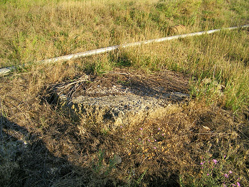
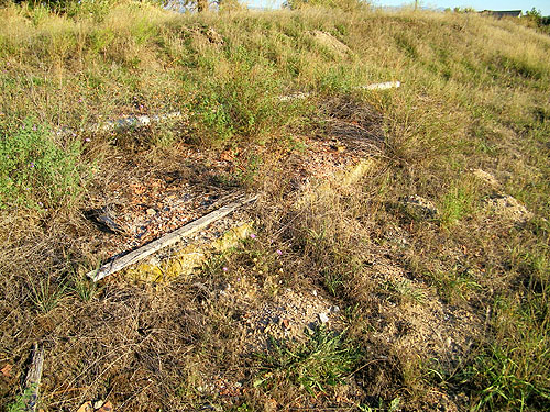
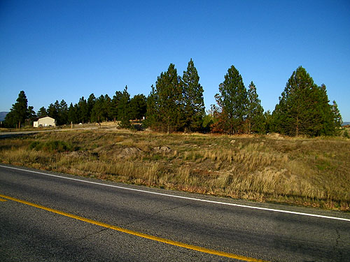
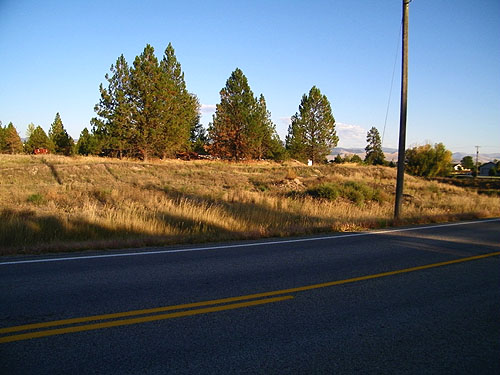
5: View of the site from the
Southwest. Little remains of the "dreams" of the Village of
Bitter Root Inn. A cursory glance as we walked North along
Eastside Highway reveal little of the few remnants of the
original concrete foundation. One neighbor we spoke to, who
had lived there for years was unaware this was the site of
the original Bitter Root Inn. |
|
|
 |
|
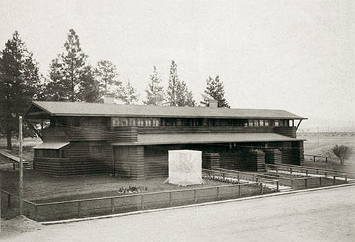
6: View of the site from the
West. A cursory glance as we walked North along
Eastside Highway reveal little of the few remnants of the
original concrete foundation. Approximate position of where
the next photograph (6b)was take around 1910. |
|
|
 |
|
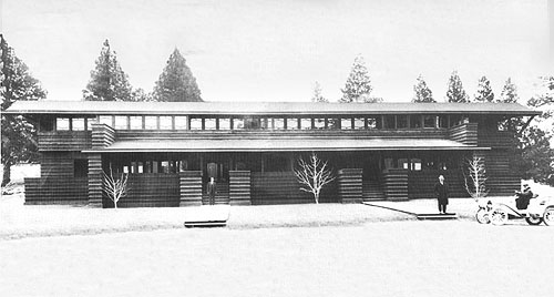
6b: Bitter Root Inn circa
1910. |
|
|
 |
|
7: View of the site from the
Northwest. Approximate position of where the next photograph
(7b) was take around 1915. |
|